
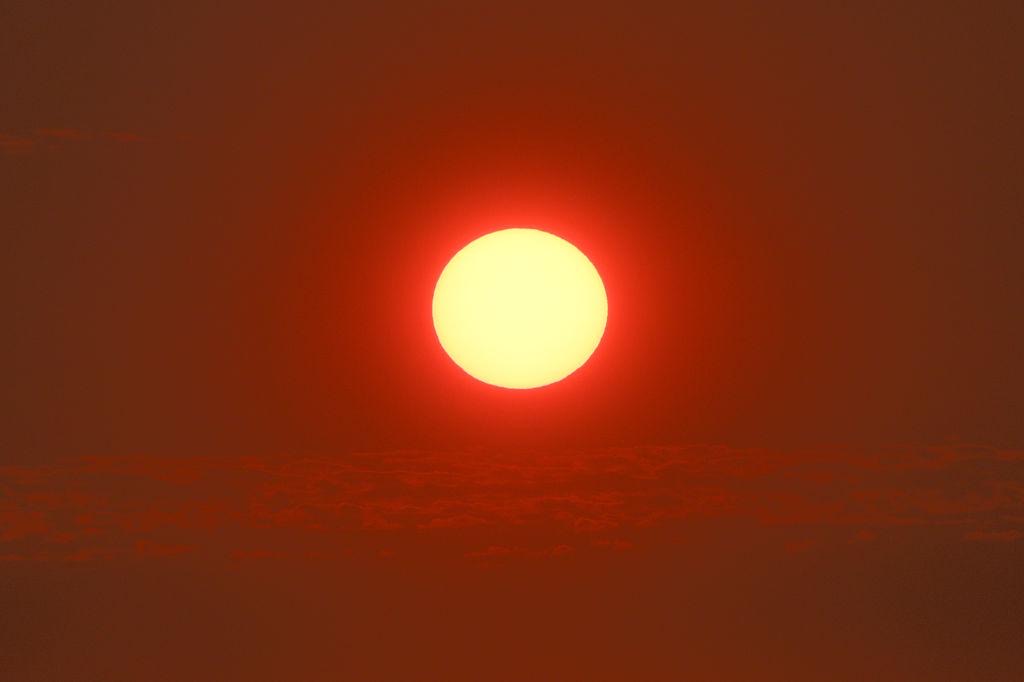
Nigeria could record 31,400 additional deaths from extreme heat over the next six months as an intensifying El Niño weather pattern threatens to worsen temperatures across the country and the wider Sahel region, according to a new report by the Climate Impact Lab.
The projections came as the World Meteorological Organisation (WMO) and the United Nations Office for the Coordination of Humanitarian Affairs (OCHA) warn that the current El Niño event could be unprecedented in strength, raising the risks of extreme heat, droughts and flooding across vulnerable communities.
Speaking at a joint press conference on Wednesday, Celeste Saulo, WMO secretary-general, said the phenomenon could peak towards the end of 2026, with its effects continuing long after.
Here are 10 important things to know about El Niño and what it could mean for Nigerians.
1. El Niño is a natural climate phenomenon
El Niño is part of a climate pattern known as the El Niño–Southern Oscillation (ENSO). It develops when sea-surface temperatures in the central and eastern equatorial Pacific Ocean become warmer than normal, alongside changes in atmospheric circulation.
These changes can influence temperature, wind and rainfall patterns far beyond the Pacific Ocean.
El Niño is not a storm, a heatwave or a disease. It is a large-scale climate pattern that can change the likelihood of particular weather conditions in different parts of the world.
2. “Super El Niño” is not the official scientific term
The phrase “Super El Niño” has gained attention in news reports and on social media amid discussions of the current event.
However, WMO describes the developing event as a “very strong El Niño.” Scientists assess its strength using measurements of Pacific Ocean temperatures and related atmospheric conditions.
The US National Oceanic and Atmospheric Administration (NOAA) also uses measurements and probability-based outlooks to monitor the phenomenon. The terminology and precise thresholds can vary with the index and agency used.
3. It happens naturally every few years
El Niño is not a one-off event. According to NOAA, it occurs on average every two to seven years and typically lasts between nine and 12 months.
Its opposite phase is called La Niña, when sea-surface temperatures in the central and eastern tropical Pacific become cooler than normal. Between the two phases, conditions can return to ENSO-neutral.
Although the cycle is natural, its effects can be especially damaging when they coincide with vulnerable communities, exposed livelihoods or already elevated global temperatures.
4. The current event could persist into 2027
In its September 3, 2026, update, WMO said there was a near-100% likelihood that El Niño would persist through February 2027. Its forecasts indicated that the event could reach very strong intensity before peaking towards the end of 2026.
This is a forecast, not a guarantee of the exact timing or severity of weather events in individual countries.
The practical concern is that climate impacts can continue even after the Pacific Ocean event begins to weaken.
5. El Niño can increase the risk of extreme heat
El Niño can shift global temperature patterns and increase the likelihood of unusually warm conditions in many regions.
WMO’s September outlook indicated an increased likelihood of above-normal temperatures across almost all land areas for September to November 2026.
For people, prolonged heat can mean greater discomfort and increased health risks, particularly for outdoor workers, older people, young children and those without reliable access to cooling or water.
However, a global temperature outlook should not be mistaken for a forecast of a specific heatwave in every Nigerian state.
6. It can disrupt rainfall, but not in the same way everywhere
One of the most important things to understand about El Niño is that it does not make every place drier.
Some regions may experience drought and prolonged dry spells, while others may face heavier rainfall, flooding or landslides. The outcomes depend on the location, season and interaction with other climate systems.
In West Africa and the Sahel, historical El Niño patterns have been associated with below-average rainfall during parts of the July–September agricultural season. But this historical relationship cannot, on its own, establish exactly what will happen in Nigeria during the current event.
7. Nigerian farmers could face difficult planting decisions
Agriculture is one of the sectors most exposed to rainfall variability.
NiMet’s 2026 Seasonal Climate Prediction, released on February 10, warned of variable rainfall, prolonged dry spells and generally warmer temperatures. It also identified differences in the expected onset, cessation, and seasonal duration of rainfall across Nigerian states.
These forecasts were issued before the current El Niño’s development was fully reflected in the later outlook. They should therefore be read alongside subsequent updates.
If rainfall becomes poorly timed, farmers may face crop stress, disrupted planting schedules and lower yields. Livestock keepers could also face pressure on pasture and water supplies.
8. Food prices could come under pressure, but increases are not inevitable
When weather disrupts agricultural production, the consequences can extend beyond the farm.
Lower harvests or difficulties transporting produce can put pressure on food supplies. If several producing regions are affected, households may face additional financial strain.
The UN Food and Agriculture Organisation warns that El Niño can threaten food production, rural livelihoods, and food security, particularly in communities with limited resources to absorb losses.
For Nigeria, however, any claim that El Niño will automatically cause food prices to rise would be premature. Prices also depend on transport costs, insecurity, imports, exchange rates, storage, government policies and other factors.
9. Flooding remains a concern for Nigeria
A country can experience dry spells and still suffer flooding. Heavy rain concentrated into a short period can overwhelm drainage systems, cause flash floods and raise river levels.
Nigeria’s flood risks must therefore be assessed using local hydrological information, not El Niño forecasts alone.
The Nigeria Hydrological Services Agency (NIHSA) provides a 2026 Annual Flood Outlook and an interactive dashboard showing flood exposure across states and the Federal Capital Territory. Its outlook can help residents check their own areas.
Residents should monitor official warnings, avoid driving or walking through floodwater, and follow evacuation instructions from emergency authorities.
10. Early warnings can save lives and livelihoods
El Niño cannot be stopped, but its potential impacts can be reduced through timely preparation.
NiMet provides seasonal climate predictions, rainfall information and agricultural advisories. NIHSA publishes flood and drought outlooks, while the National Emergency Management Agency (NEMA) coordinates disaster preparedness and response.
Farmers can use official forecasts to plan planting and prepare for dry spells. Communities can identify evacuation routes and protect essential documents before flooding occurs. Government agencies can also use early warnings to prepare water supplies, emergency services and humanitarian assistance.
WMO stresses the importance of turning climate forecasts into early action, particularly when an event is expected to become unusually strong.
The key message is that preparation should begin before the impacts become visible.
We’ve got the edge. Get real-time reports, breaking scoops, and exclusive angles delivered straight to your phone. Don’t settle for stale news. Join LEADERSHIP NEWS on WhatsApp for 24/7 updates →
Join Our WhatsApp Channel