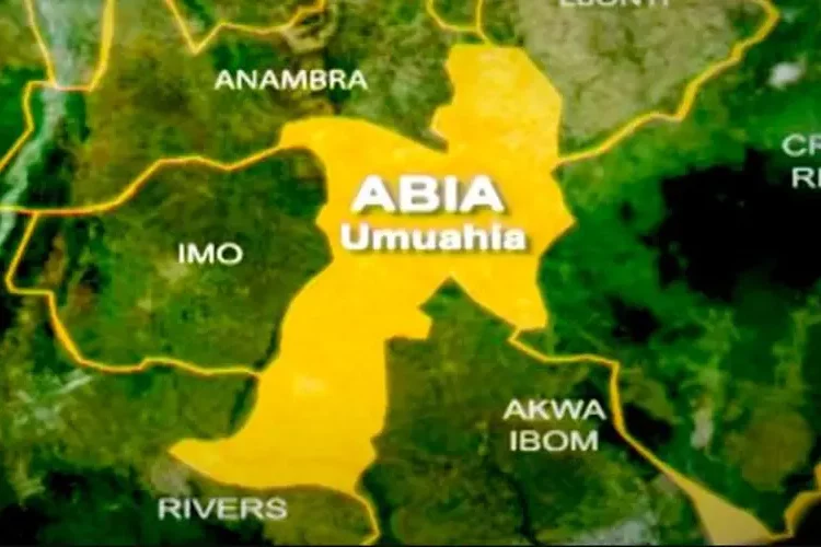
The Abia State government has embarked on arial imagery mapping of the state’s land space including a radar and 2D line mapping of Aba and Umuahia, the state capital.
The commissioner for Information, Okey Kanu, stated this while briefing the press on the outcome of this week’s state executive council meeting chaired by Governor Alex Otti in Umuahia.
”This will enable the government know and make it easier for it to know the extent of the land mass and areas where it could carry out projects,” he said.
The exercise, which he said is being conducted by the Ministry of Lands and Housing, is meant to strengthen the state’s efficient delivery of housing and other services.
The commissioner also announced that the government has approved the establishment of CSS Farms, an integrated farming structure in the state.
”You recall that sometime last year, about 302 young Abians were sent to CSS Farms in Nasarawa State for training and after their training, they were empowered.
”We’re doing this not only to boost the food production capacity of the state but to also offer a training ground for our youths to go into agriculture and agribusiness,” he said.
The commissioner for Land and Housing, Chaka Chukwumerije, said the exercise was progressing, adding that it would also be of benefit to other ministries.


